The ESAIL microsatellite for tracking ships at sea has completed its latest environmental and system performance tests and set off for Europe’s spaceport in Kourou, French Guiana.
On 17 February the satellite left Luxembourg, where it was built by LuxSpace under an ESA Partnership Project with the Canadian operator exactEarth, sponsored by the Luxembourg Space Agency and other ESA member states.
ESA’s Partnership Projects aim to develop sustainable end-to-end systems, right up to in-orbit validation.
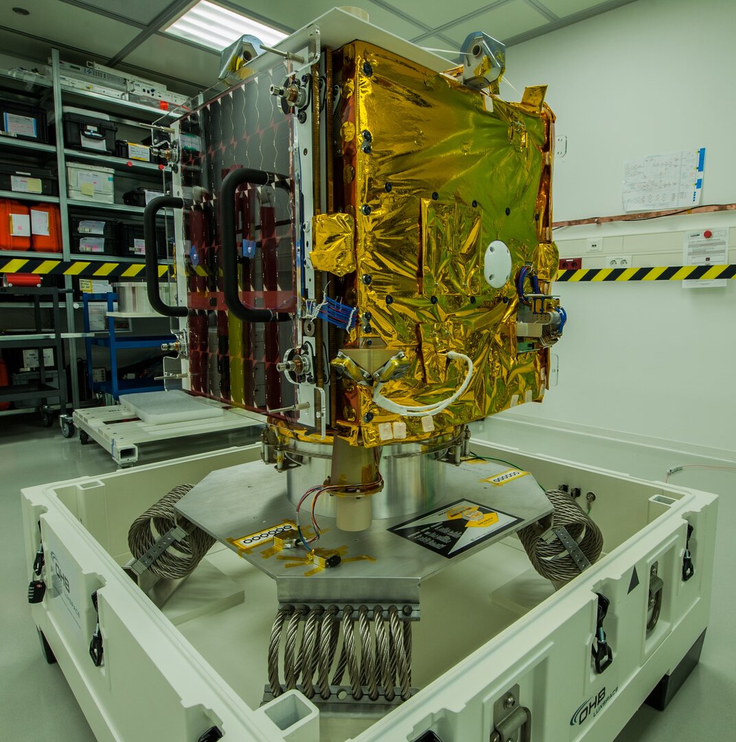
The satellite is being transported aboard a Cargolux 747 aircraft to its launch site in Kourou, French Guiana.
ESAIL is due to be delivered into a Sun-synchronous orbit at an altitude of more than 500 km on Arianespace’s first Vega Small Satellites Mission Service rideshare flight VV16.
The satellite aims to enhance the next generation of space-based services for the maritime sector.
Once launched, it will track ship movements by detecting their automatic identification system messages over the entire globe.
Using satellite-based automatic identification systems helps to make the seas safer.
It enables fisheries monitoring, fleet management, environmental protection and security monitoring for maritime and government authorities and industry.
Once commissioned, ESAIL will become part of exactEarth’s satellite-based automatic identification system constellation, which provides continuous global coverage of maritime traffic to its customers around the world.